
Mounds 13, 14, 15, and 16
These four mounds, as numbered on the Patrick Map and followed by Moorehead, must be considered as a group. There are major discrepancies between the Patrick locations of these mounds and indications on current aerial photographs and contour maps of the area. Patrick shows these basically as two pairs (13-14 and 15-16) just north of Monks Mound. Mound 14 is a large, oval-shaped mound, and 13 is a small, apparently conical mound. Mound 16 is a large oval with a platform top, and Mound 15 is a large (compared to 13) conical mound. Recent maps and field studies indicate, however, that there are remnants of two mounds in the positions Patrick numbers Mounds 14 and 16, and another mound to the west, approximately halfway between what Patrick labels Mounds 13 and 15. I can identify only three mounds in this group, not the four that Patrick has numbered.
On some aerial photographs, soil disturbance to the east of the line between Mounds 14 and 16, and approximately in a line with Mound 5, might indicate a fourth mound in the group. Whether this fourth mound’s location is accepted or not, it is still quite a different arrangement than Patrick’s. For now, Mounds 14 and 16 are considered two positively identified mounds, and they will be described first.
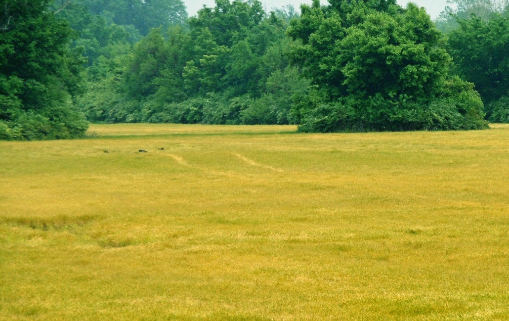
Mound 14 as mapped by Patrick is the northern most mound of the group. It does not appear as a distinct contour on the UWM Map. Field observations indicate a contour rise in a roughly round and dome-shaped form in this area. Patrick indicates that Mound 14 had a conical summit and oval base with the east-west axis longer than the north-south axis. He located this ,mound directly north of Mound 15 and south of Mound 9. The McAdams Map of 1882 also places it north of Mound 15 and south of Mound 9 and indicates a height of 10 feet (3.1 meters), as does the Thomas Map of 1894. Moorehead reports trenching this mound in April 1922, giving its dimensions as 180 feet(55.5 meters) north-south, 110 feet (33.9 meters) east-west, and a height of 5 feet (1.5 meters). He states that a road ran through the area along the crest of Mound 14. He also “saw a sunken depression in the center of the mound from end to end.” In his probing Moorehead found “a few pieces of stone, no pottery and some broken bones.” Directly to the south of Mound 14 is Mound 16, which is clearly defined on the 1966 UWM Map. Assuming its base is at 125 meters (410.1 feet), it is located between N452-482 and E96-128, giving a north-south dimen sion of 30 meters (97.3 feet) and an east-west dimension of 32 meters (103.8 feet). The top of the mound is at 125.7 meters (412.4 feet), indicating a height of 0.7 meters (2.3 feet). The McAdams Map of 1882 gives a height of 10 feet (3.1 meters) as compared to the Thomas Map of 1894, which gives 15 feet (4.6 meters). The Peterson-McAdams Map of 1906 gives a height of 6 feet (1.85 meters). The discrepancies between the late nineteenth century and the present are probably due to extensive cultivation of the area and flooding that has deposited silt in this region. This mound group is located in the lowest-lying land in the whole Cahokia site, an area indicated on most maps as swamp. It is possible that the bases of these mounds are buried and that their true height is somewhat greater. The locations of these mounds suggest that the area may have been drier at the time of their construction. The Patrick, McAdams, Thomas, and Peterson-McAdams maps show great discrepancies in the locations of these mounds. Swampy conditions and the difficulties of surveying the area in those early days may account for the differences.
Another contour and mound elevation on the 1966 UWM Map is located approximately halfway between Mounds 14 and 16, directly west of a line that aligns it with Mound 5. This is designated Mound 15 on the UWM Map, although it may not be Patrick’s Mound 15. Assuming a base elevation of 125 meters (410.1 feet), Mound 15 is located between N472-510 and W5-25, giving a north-south dimension of 38 meters (124.7 feet) and an east-west dimension of 20 meters (65.6 feet). The top elevation is 125.4 meters (411.4 feet), giving a height of 0.4 meters (1.3 feet). The height given by the McAdams and Thomas maps is 10 feet (3.1 meters), while the Peterson-McAdams Map of 1906 gives a height of 5 feet (1.5 meters). Since this may not be the same Mound 15 referred to by Patrick, I cannot comment on its change in shape and form. The Mound 15 on the 1966 UWM Map is oval with the long axis north-south. This shape is confirmed by aerial photographs taken from 1933 to the present that show a soil mark of approximately this shape and dimensions.
There is no evidence of Patrick’s Mound 13 on the UWM Map. There is a possible mound to the east of the axis between Mounds 14 and 16 in a location of would be comparable to the presumed location of Mound 13, but it shows up on only on a few aerial photographs and cannot be confirmed in the field Present data suggest that this group is represented by three mounds in a basically triangular pattern with its north-south line from Mounds 14 to 16. W of the median point of this line stands Mound 15. The number 13 is retained to represent a mound indicated by Patrick that can not be identified today.

