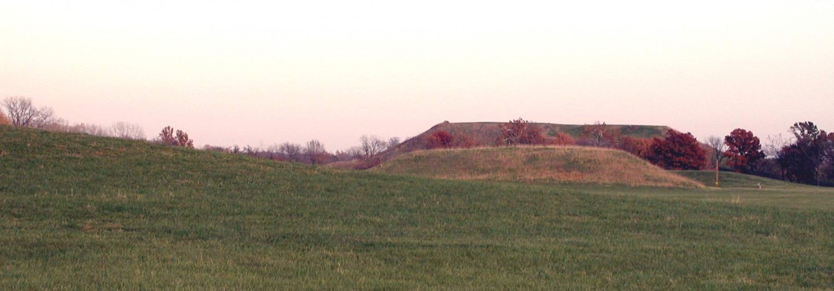
Mound 44
Apparently this mound was originally a rectangular, flat-topped, platform mound with a north south axis greater than its east-west axis. That configuration is indicated on the Patrick Map and is confirmed by the Thomas (1894) Map. McAdams, however, represents Mound 44 as a square mound slightly smaller than Mound 41. When the UWM Map was drawn 70 years later, Mound 44 had assumed a more conical or dome shaped form due to extensive cultivation. Recorded heights for this mound decreased through time. McAdams (1882), for example, gives a height of 18 feet (5.5 meters); Thomas (1894) records 15 feet (4.6 meters); and Peterson-McAdams (1906), 10 feet (3.05 meters). The 1966 UWM Map indicates a height of 3 meters (9.8 feet) if the 129-meter (423.2foot) contour is used as a base line, or 2 meters (6.6 feet) if the 130-meter (426.5-foot) contour is used.
No archaeological excavations have been undertaken in Mound 44. However, in 1961, the Illinois State Museum, in cooperation with the Illinois Division of Highways, conducted archaeological research in the area designated Tract 15A, 3,000 feet (914.4 meters) west of Monks Mound and north of Highway 40. This area is just west of Mound 44. In excavations at the southern end of Tract 15A just southwest of Mound 44, a long, winding prehistoric trench was encountered.
In all probability, this trench represents the location of a palisade of upright posts… There were no post molds evident in the trench indicating that the palisade had been deliberately razed and did not rot in position. It is doubted that the palisade was constructed for defensive purposes. Instead, its relationship to Mound 44 which lay immediately to the east, outside of the right of way, indicated that it may have served as a means of setting off the area of the mound from other parts of the town. The soil of the mound is sandy. The fact that the soil filling the trenches is sandy, in contrast to the gumbo of the area, is a further indication that the mound and palisade were related. It is presumed that when the palisade was taken down, soil which had washed down from the mound filled the trench. The palisade was traced to the south as far as the drainage ditch along Highways 40 and 66. [Wittry and Vogel 1962:28-29]
Also unearthed in Tract 15A were the circles of posts, the Woodhenges, found in the neighborhood of Mound 44.
A large circle (480 feet in diameter… ) is found about 100 feet west of Mound 44 and another circle (240 feet in diameter… ) directly north of and overlapping Mound 44. Since the area of Mound 44 overlaps the area of the projected circle it is possible that this circle was an earlier feature than the mound. [Wittry and Vogel 1962:29]


