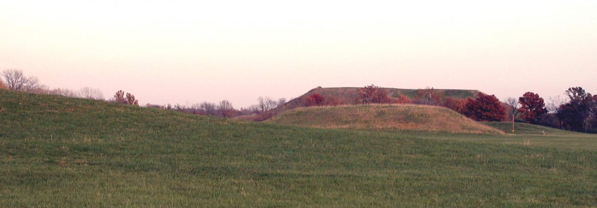
Mound 42
Known as the Merrell Mound, this is one of the largest and best preserved mounds in the entire archaeological zone. It is also unique because an oval platform mound is built on its southwest corner. According to Bushnell, this secondary mound was an elevated platform about 75 feet (22.9 meters) in diameter. The main Mound 42 is a rectangular platform approximately 79 meters by 122 meters (260 feet by 400 feet), based upon the UWM Map. The Patrick Map shows a north-south dimension of 240 feet (73.15 meters) and an east west dimension of 280 feet (85.3 meters). The various height estimates are fairly consistent, ranging from 25 to 30 feet (7.6 to 9.1 meters) above the surrounding flood plain. The UWM Map confirms these estimates.
Fortunately, the mound is well preserved, and it seems to be very near its original form except that the oval platform mound on top was leveled many years ago, making the entire surface relatively level. This mound is preserved probably because a house stood on it for more than 100 years. A plat map taken from an 1873 atlas indicates, for example, that there was a building on the mound then (Illustrated Encyclopedia and Atlas Map of Madison County, 1873). Bushnell described the mound as follows:
Mound E. Rectangular. Elevation 25 feet. The southwest corner is a slightly elevated platform of about 75 feet in diameter dimensions of the base, north to south 240 feet, east to west 280 feet. [Bushnell 1904: 10]
The Merrell Mound had not yet been excavated in Moorehead’s time. In 1969, Elizabeth Benchley, of the University of Wisconsin-Milwaukee, conducted some test excavations in the southwest corner of the Merrell Mound to examine the nature of the oval platform mound that had been constructed on top of the larger mound.


