
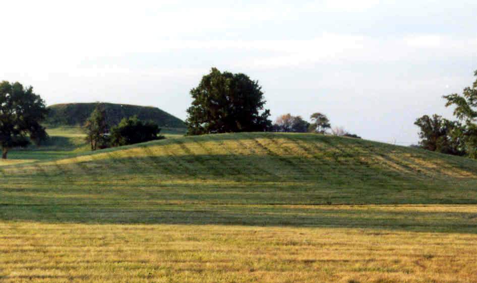
Mound 56
Aside from Monks Mound, Mound 56 is one of the most illustrated mounds at Cahokia. Both Wild and Bodmer show it as a tall, even accounting for some exaggeration of vertical scale, ridge-top mound. Both of these illustrations were drawn in the 1840s before extensive cultivation of this area had taken place. Today the mound is greatly altered from its original form by cultivation and appears as a low, domed rise. Mound 56 is shown as conical on the Patrick Map. The McAdams Map of 1882 gives a height of 15 feet (4.6 meters); the Thomas Map of 1894, 12 feet (3.7 meters); and the Peterson-McAdams Map of 1906, only 5 feet (1.5 meters). The 1966 UWM Map, using a base elevation of 127 meters (416.7 feet), shows a height of 3.9 meters (12.8 feet) for this mound. It is hard to understand how Peterson-McAdams could have given a height of only 5 feet in 1906 unless they confused it with some other nearby mound. However, the location seems to be most closely related to this mound.
In his report, Moorehead describes Mound 56, also known as the Jesse Ramey Mound, as follows:
This is about twenty feet in height at the present time, the base diameter some three hundred feet. It is the second mound directly south of Monks. It is not quite clear whether this was originally an oblong mound or of the pyramid type since it has been cultivated for many years. Some twenty-five men were employed in the work and a trench sixty-five feet in length and ten feet deep was extended from near the base on the south side to a line some distance from the center. Then test pits were sunk and post augers used. Five or six feet farther down^(a total depth of fourteen or sixteen feet) we came upon rather soft, dark earth quite different from the clay and gumbo of which most of the mounds are composed. It resembled the earth found about burials in the several mounds of the Hopewell group. There were a few scales of copper, and some fragments of a highly finished pottery. That is, fragments recovered indicate the finer pottery such as accompanies burials. This mound was tested during our first season. At a subsequent visit the Ramey family did not care to have it explored. Now that it is state property, it is recommended that thorough exploration be undertaken. [Moorehead 1929: 37-38]
