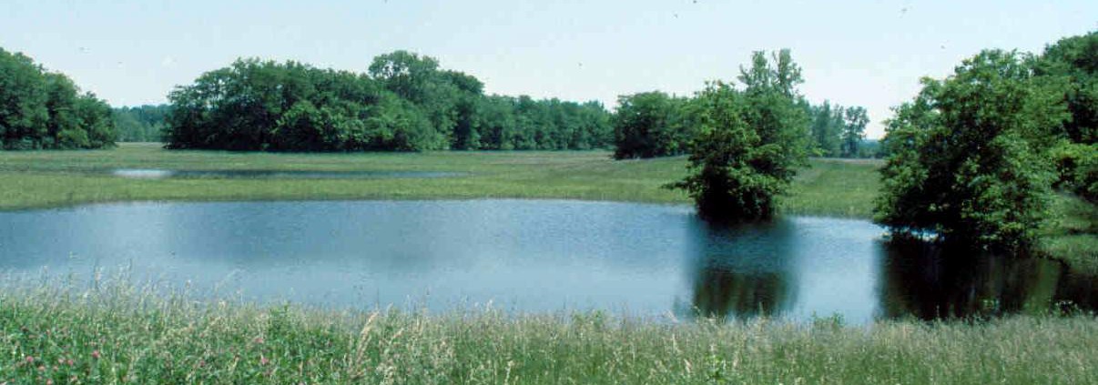
Mound 62
Mound 62 is located near the large series of borrow pits in the southeast quadrant of the Cahokia site and is associated with Mound 61 and Mound 95. Mound 61 is shown by Patrick as a round, conical shaped mound. Patrick shows no height for it, but on the Peterson-McAdams Map of 1906 a height of 6 feet (1.8 meters) is given. The UWM Map, on the basis of the 127-meter (416.7-foot) contour, shows a height of 1.4 meters (4.6 feet). It appears that this mound has been less affected by destruction from plowing than Mound 61.
In 1923, Moorehead made the following comment (1923: 38):
On our large map are several areas marked ‘Village Site’. Readers should not conclude that wigwams existed merely at those places. Such markings indicate that at certain points we dug pits and found the indications of occupation extended several feet into the ground. We believe that all the area was occupied except a space south of the National road. This is bounded on the west by tumuli 68 and 70, on the south by 66 and 65, on the east by 64 and 62, and on the north by 77 [Mound 72]. We did not test very extensively in this area but where we did so, little was found.
There is no evidence, however, that Moorehead dug or tested Mound 62.


