
Mound 64
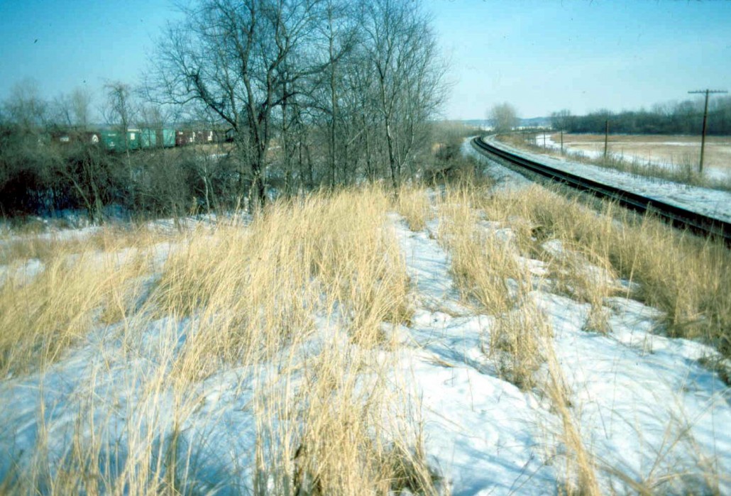
Sometimes known as True Rattlesnake Mound, Mound 64 is located between the railroad tracks directly south of Mounds 61 and 62. Patrick shows it as a rectangular mound with the long axis directly east-west. An 1892 photograph in the files of the Missouri Historical Society illustrates what may be this mound. It is labeled “Hayrick Mound of the Cahokia Group, Madison County, Illinois, 1892. One mile south of Cahokia Mound size 250 feet long, 12 feet wide, 50 feet [?] high.” No railroad tracks are visible in the photograph, so the mound may actually be Mound 66, but the dimensions given on the photograph are too short to be Mound 66 and the height too great.
The early maps recording this mound show it much lower. The McAdams Map of 1882 gives a height of 15 feet (4.6 meters) and the Peterson McAdams Map of 1906 only 8 feet (2.4 meters). It is difficult to know which of these is correct; for example, the dimension of 12 feet wide given on the Missouri Historical Society photo is not consistent with a mound 250 feet long and 50 feet high. Probably the width and height are reversed on the photo label. The 1966 UWM Map, which can show only portions of this mound since it is buried under the railroad tracks, suggests an east-west dimension of 73 meters (239.5 feet) and a north-south dimension of 27 meters (88.6 feet).
Moorehead wrote of Mound 64:
This lies to the extreme south of the group, fully a mile from Monks Mound, and many years ago was considerably damaged by the construction of the Baltimore and Ohio and Pennsylvania Railroads which pass on either side. Some of the earth was utilized in grading tracks. It is stated by older residents that the Baltimore and Ohio construction crew removed some two-thirds of the structure, and found a stone pipe, said to represent an eagle, about 20 inches in length. Diligent inquiry fails to indicate the present location of this specimen. The structure is composed of very heavy dark gumbo and although eight or ten test pits were dug by our crew, no pipes, skeletons, or other objects were uncovered. [Moorehead 1929: 8344]
The dimensions, reported Moorehead, were:
the major axis running N87° W, and from the highest point on which, taken as BM [Bench Mark], base appears at eleven and three tenths feet. Northward from BM, the minor axis extends sixty feet; southward, the center line of the B.&0. track lies at thirty feet, and the cutting operations necessary to laying this have seriously marred the entire south half of the mound. [Moorehead 1929: 8-84]
