
Mound 29
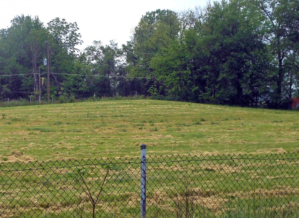
Mound 29 The smallest of a group of three mounds (27, 28, and 29), Mound 29 is north-northwest of Mound 28 and west-northwest of Mound 27. The Patrick Map illustrates it as a small, conical mound. On the UWM Map, this mound is noted as a slight rise partially cut through by the modern street and delineated by the 127-meter (416.7 feet) contour line. If this is indeed the base, the mound is less than 1 meter (3.3 feet) in height since no other contours are mapped in the area. The earlier maps indicate heights ranging from 8 to 15 feet (2.4 to 4.6 meters) for this mound, illustrating the considerable amount of erosion and reduction resulting from intensive cultivation and modern construction. Using the 127-meter contour as the base, Mound 29 is located between N91-126 and E919-943, giving a north- south dimension of 35 meters (114.8 feet) and an east-west dimension of 24 meters (78.7 feet). This is probably larger than the original mound due to the amount of slope wash that has expanded the area. There are no indications of previous excavations on this mound.

